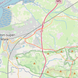
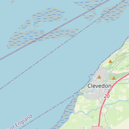
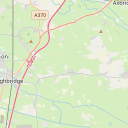
Although there is no ride leader at this time, if anyone wants a route for this Sunday, that tries to mitigate the worst of the weather forecast, here is a suggestion of a ride. It's shorter than the usual 50 miles but once around the old toll road will fill it out.
Please make sure you are able to navigate the route independently as you may be on your own this week.
https://www.strava.com/routes/2755174382985724190


Leaflet | © OpenStreetMap contributors, Map data © OpenStreetMap contributors, CC-BY-SA, Imagery © Mapbox
Total distance: 42.66 mi
Max elevation: 568 ft
Min elevation: 15 ft
Total climbing: 1888 ft
Total descent: -1887 ft
Download
Max elevation: 568 ft
Min elevation: 15 ft
Total climbing: 1888 ft
Total descent: -1887 ft
