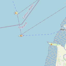
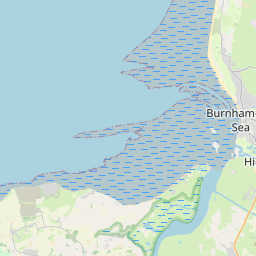
Here is the the route for this Saturday's club ride.
I had intended a variation but there's another road closure to avoid.
Meet up at 8:30am, outside Priory School.
SD groups if necessary.
Please bring route if you have the tech, but it would take some skill to get lost this close to Weston. Although I dare say it could be done.
Please read:
http://westonwheelers.cc/general-requirements-for-club-rides/
https://www.strava.com/routes/2736921785833856060


Leaflet | © OpenStreetMap contributors, Map data © OpenStreetMap contributors, CC-BY-SA, Imagery © Mapbox
Total distance: 31.84 mi
Max elevation: 68 ft
Min elevation: 13 ft
Total climbing: 502 ft
Total descent: -501 ft
Download
Max elevation: 68 ft
Min elevation: 13 ft
Total climbing: 502 ft
Total descent: -501 ft
