 Will be accepted at 'Members Benefits' shops.
 Author Archives: Peter Morteo
New Routes
Loads of tried and tested rides now available to download in 'Routes'.
Where will your next adventure take you?
Which ever ride you choose stay safe and enjoy!
Enmore Dash
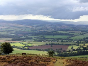 Worth it for the views
Total distance: 65.28 mi
Max elevation: 799 ft
Min elevation: -13 ft
Total climbing: 2028 ft
Total descent: -2041 ft
Download Max elevation: 799 ft
Min elevation: -13 ft
Total climbing: 2028 ft
Total descent: -2041 ft
Two Coombes
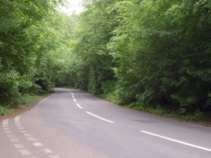 Has its ups and down
Total distance: 42.18 mi
Max elevation: 908 ft
Min elevation: -8 ft
Total climbing: 2258 ft
Total descent: -2261 ft
Download Max elevation: 908 ft
Min elevation: -8 ft
Total climbing: 2258 ft
Total descent: -2261 ft
Battle of Naish Hill.
Paul Stones Classic route best attempted in the dry!
Total distance: 49.49 mi
Max elevation: 449 ft
Min elevation: -1 ft
Total climbing: 1623 ft
Total descent: -1625 ft
Download Max elevation: 449 ft
Min elevation: -1 ft
Total climbing: 1623 ft
Total descent: -1625 ft
Aron’s Powerful 50!
Just get your head down and power through!
Total distance: 50.23 mi
Max elevation: 230 ft
Min elevation: -73 ft
Total climbing: 1022 ft
Total descent: -1100 ft
Download Max elevation: 230 ft
Min elevation: -73 ft
Total climbing: 1022 ft
Total descent: -1100 ft
The Highest Road in Wales
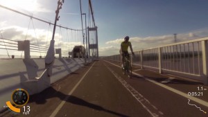
Gospel Pass is the Highest road in Wales. Park up at the 2nd Severn crossing and grit your teeth!
Total distance: 39.62 mi
Max elevation: 848 ft
Min elevation: -22 ft
Total climbing: 2664 ft
Total descent: -1817 ft
Download Max elevation: 848 ft
Min elevation: -22 ft
Total climbing: 2664 ft
Total descent: -1817 ft
Weston Loop
A nice 24 mile ride with a kick!
Total distance: 24.3 mi
Max elevation: 224 ft
Min elevation: 7 ft
Total climbing: 898 ft
Total descent: -823 ft
Download Max elevation: 224 ft
Min elevation: 7 ft
Total climbing: 898 ft
Total descent: -823 ft
Midweek Burrington Bash
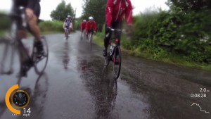
- VIRB Picture
- VIRB Picture
- VIRB Picture
Total distance: 39.26 mi
Max elevation: 890 ft
Min elevation: -1 ft
Total climbing: 1558 ft
Total descent: -1550 ft
Download Max elevation: 890 ft
Min elevation: -1 ft
Total climbing: 1558 ft
Total descent: -1550 ft
Chew Valley Coffee and Cake
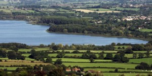 A gentle 52 miles and 1800ft elevation with a lakeside stop for cake.
Total distance: 52.25 mi
Max elevation: 561 ft
Min elevation: -3 ft
Total climbing: 1898 ft
Total descent: -1915 ft
Download Max elevation: 561 ft
Min elevation: -3 ft
Total climbing: 1898 ft
Total descent: -1915 ft

