Author Archives: Duncan Robertson

Saturday Club Ride : 29th September 2018

It's going to be dry, no wind and the weather isn't going to last for ever. So why wouldn't you want to come out for a steady ride this Saturday morning - you won't even need lights! https://www.strava.com/routes/15648879
Leaflet | © OpenStreetMap contributors, Map data © OpenStreetMap contributors, CC-BY-SA, Imagery © Mapbox
Total distance: 31.92 mi
Max elevation: 72 ft
Min elevation: 8 ft
Total climbing: 782 ft
Total descent: -780 ft
Download

Wednesday Evening Club Ride : 26th September 2018

Here is this week's mid-week club ride route. Meet up outside Priory School at 6pm https://www.strava.com/routes/15628103
Leaflet | © OpenStreetMap contributors, Map data © OpenStreetMap contributors, CC-BY-SA, Imagery © Mapbox
Total distance: 31.23 mi
Max elevation: 210 ft
Min elevation: 3 ft
Total climbing: 1456 ft
Total descent: -1454 ft
Download

Saturday Club Ride : 22nd September 2018

Here is the route for this weeks Saturday club ride. Meet up, as usual, at 8:30 outside Priory School https://www.strava.com/routes/11818139
Leaflet | © OpenStreetMap contributors, Map data © OpenStreetMap contributors, CC-BY-SA, Imagery © Mapbox
Total distance: 33.09 mi
Max elevation: 72 ft
Min elevation: 8 ft
Total climbing: 775 ft
Total descent: -772 ft
Download

Sunday Club Ride : 16th September 2018

Here is the route for this week's club ride. Café stop at Langport. https://www.strava.com/routes/15469372
Leaflet | © OpenStreetMap contributors, Map data © OpenStreetMap contributors, CC-BY-SA, Imagery © Mapbox
Total distance: 63.76 mi
Max elevation: 325 ft
Min elevation: 1 ft
Total climbing: 2812 ft
Total descent: -2821 ft
Download

Saturday morning club ride : 15th September 2018

Here is the route for this week's Saturday morning club ride. Meet up at 8:30am, outside Priory School. https://www.strava.com/routes/15448118
Leaflet | © OpenStreetMap contributors, Map data © OpenStreetMap contributors, CC-BY-SA, Imagery © Mapbox
Total distance: 30.53 mi
Max elevation: 151 ft
Min elevation: 11 ft
Total climbing: 1112 ft
Total descent: -1108 ft
Download

Wednesday Evening Club Ride : 12th September 2018

Here is route for Wednesday evening. Meet up at Priory School, 6pm https://www.strava.com/routes/15114298
Leaflet | © OpenStreetMap contributors, Map data © OpenStreetMap contributors, CC-BY-SA, Imagery © Mapbox
Total distance: 31.26 mi
Max elevation: 607 ft
Min elevation: 13 ft
Total climbing: 1395 ft
Total descent: -1399 ft
Download

Sunday Club Ride : 9th September 2018

Here is the proposed route for this week. Café stop at Sweets - for the long version. https://www.strava.com/routes/15359319
Leaflet | © OpenStreetMap contributors, Map data © OpenStreetMap contributors, CC-BY-SA, Imagery © Mapbox
Total distance: 56.31 mi
Max elevation: 963 ft
Min elevation: 3 ft
Total climbing: 2809 ft
Total descent: -2809 ft
Download - … and for anyone wanting a shorter ride out, but wants to tag along at the start; https://www.strava.com/routes/15359612
Leaflet | © OpenStreetMap contributors, Map data © OpenStreetMap contributors, CC-BY-SA, Imagery © Mapbox
Total distance: 37.95 mi
Max elevation: 963 ft
Min elevation: 11 ft
Total climbing: 2592 ft
Total descent: -2592 ft
Download  

Sunday Club Ride : 2nd September 2018

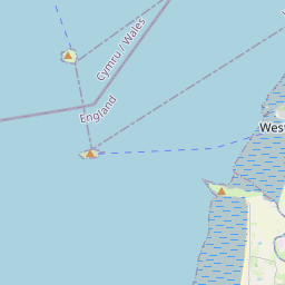
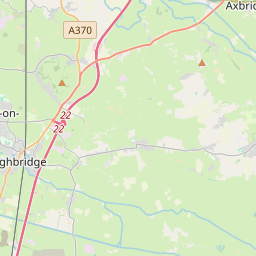
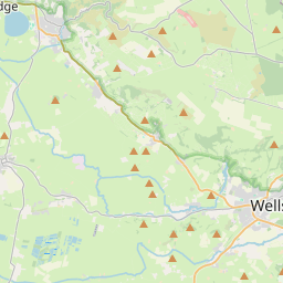
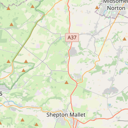
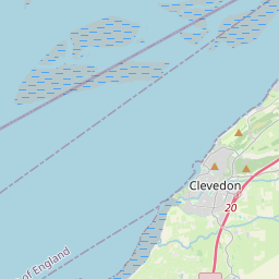
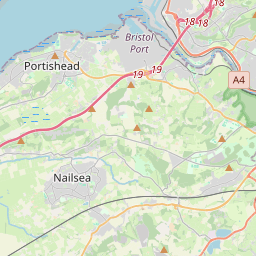
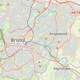
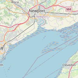
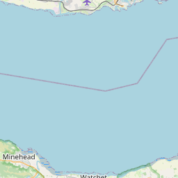
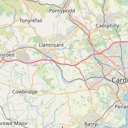
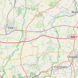
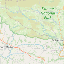
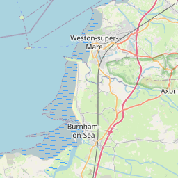
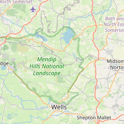
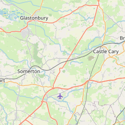
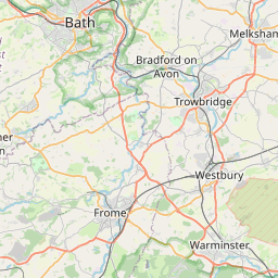
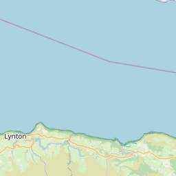
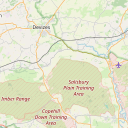
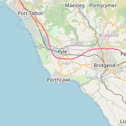
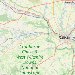
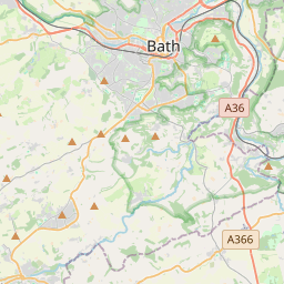
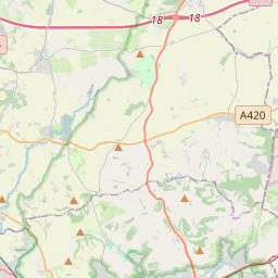
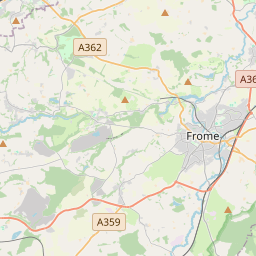
Here are the route(s) for this Sunday. Cafe stop on long route at Wapping Wharf in Bristol. Ride(s) leave from Priory School, at 9am. 
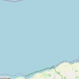
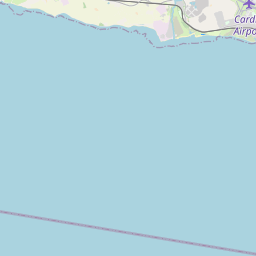
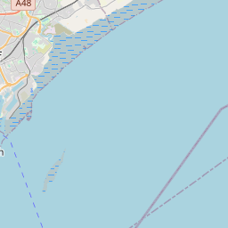
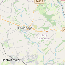
https://www.strava.com/routes/15238423
Leaflet | © OpenStreetMap contributors, Map data © OpenStreetMap contributors, CC-BY-SA, Imagery © Mapbox
Total distance: 53.66 mi
Max elevation: 501 ft
Min elevation: 7 ft
Total climbing: 3483 ft
Total descent: -3479 ft
Download .   
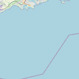
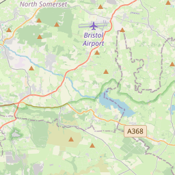
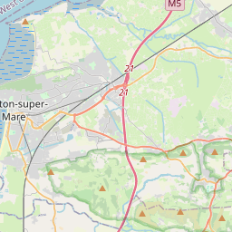
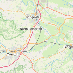
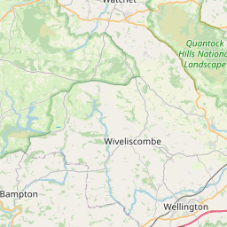
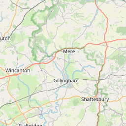
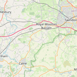
As an experiment. For folks not able to find the time for the long route, here is a shorter alternative which starts with the longer route and diverts part the way around. Should be back to Weston by midday - no cafe stop though. 
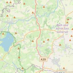
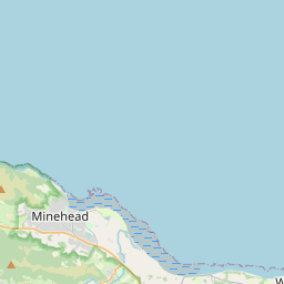
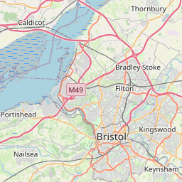
https://www.strava.com/routes/15262475
Leaflet | © OpenStreetMap contributors, Map data © OpenStreetMap contributors, CC-BY-SA, Imagery © Mapbox
Total distance: 36.78 mi
Max elevation: 577 ft
Min elevation: 10 ft
Total climbing: 1969 ft
Total descent: -1965 ft
Download