
-

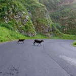
- VIRB Picture

-

- VIRB Picture
-

- VIRB Picture

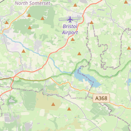
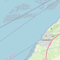
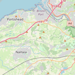
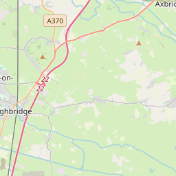
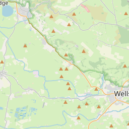
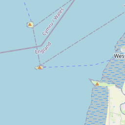


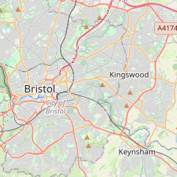


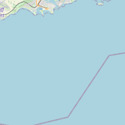
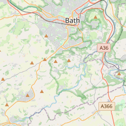


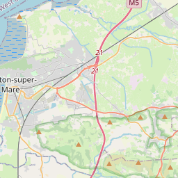


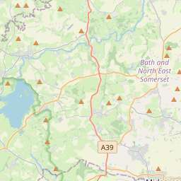
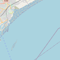
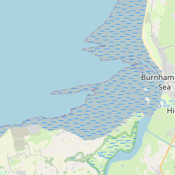
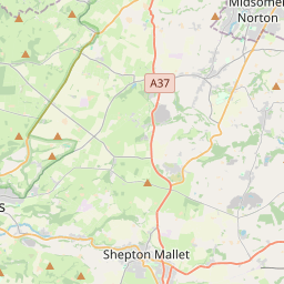

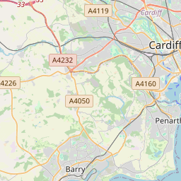
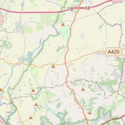
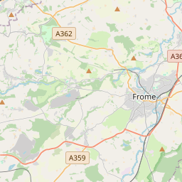

Leaflet | © OpenStreetMap contributors, Map data © OpenStreetMap contributors, CC-BY-SA, Imagery © Mapbox
Total distance: 39.26 mi
Max elevation: 890 ft
Min elevation: -1 ft
Total climbing: 1558 ft
Total descent: -1550 ft
Download Max elevation: 890 ft
Min elevation: -1 ft
Total climbing: 1558 ft
Total descent: -1550 ft