


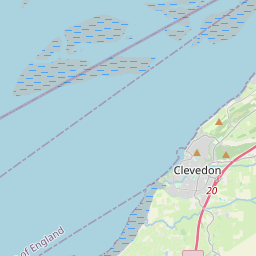
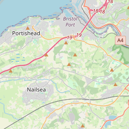

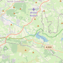

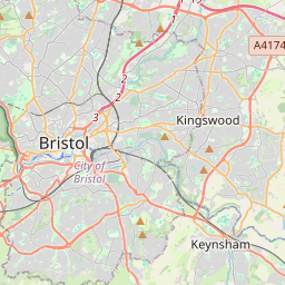
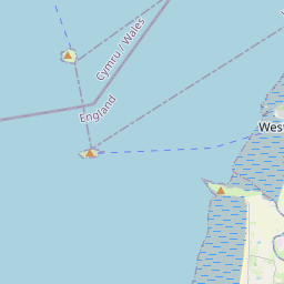


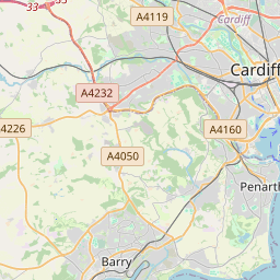


Leaflet | © OpenStreetMap contributors, Map data © OpenStreetMap contributors, CC-BY-SA, Imagery © Mapbox
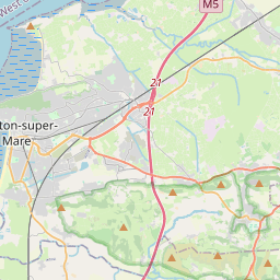
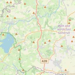
Total distance: 47.39 mi
Max elevation: 456 ft
Min elevation: -5 ft
Total climbing: 2067 ft
Total descent: -2050 ft
Download
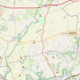
Max elevation: 456 ft
Min elevation: -5 ft
Total climbing: 2067 ft
Total descent: -2050 ft
Hi Guys, I’ve been clearing the loft and come across a load of Weston Wheelers newsletters from the 90’s if you want them. I’m over in Bleadon. Regards Rich
Clearing loft and found a load of old Weston Wheelers newsletters from the mid 90’s if you want them. I’m over in Bleadon. Cheers Rich