

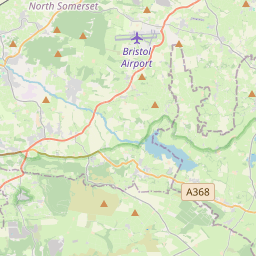
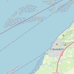
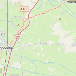
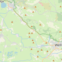


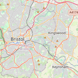
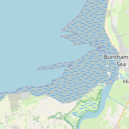


Leaflet | © OpenStreetMap contributors, Map data © OpenStreetMap contributors, CC-BY-SA, Imagery © Mapbox
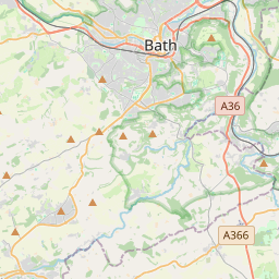
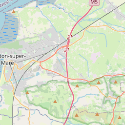
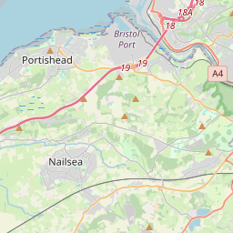
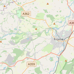
Total distance: 52.44 mi
Max elevation: 0 ft
Min elevation: 0 ft
Total climbing: 0 ft
Total descent: 0 ft
Download
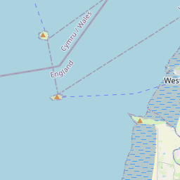
Max elevation: 0 ft
Min elevation: 0 ft
Total climbing: 0 ft
Total descent: 0 ft
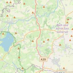
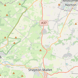
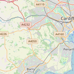
Pete, my plans for 27th are still not confirmed. If I can join you I will meet you at Silver Moor Road where you turn off the A370 towards Wolvershill. If I am not there do not wait. I see you have included the climb out of Draycott; oh dear!